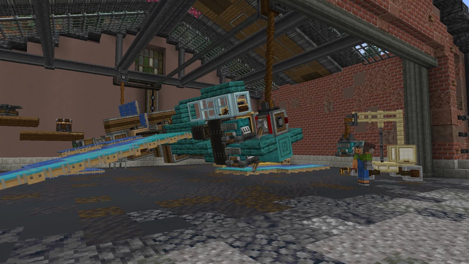
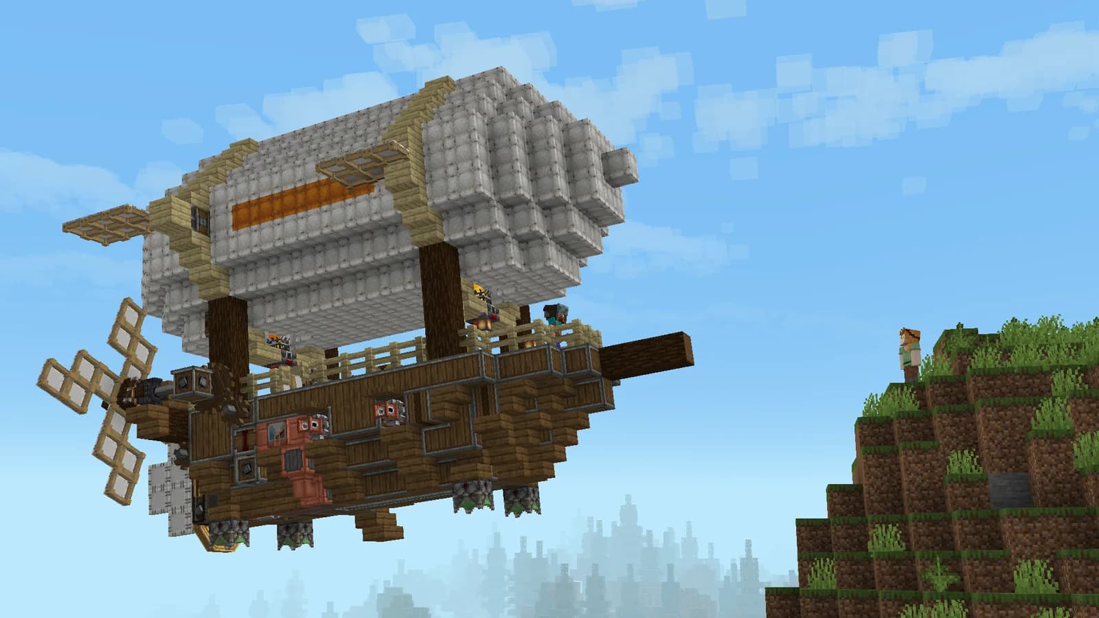
MARALYS Atlas runs Minecraft Java on a 1:1000 real-world map. Choose a region, build a settlement and connect it with Create transport. Aeronautics is included and server access is free.
The world follows Earth's geography at reduced distances. Coastlines, continents and regional positions help with travel and construction planning. The scale does not mean every real building and road has been copied: players construct towns and infrastructure in the game world.
Study the area on the map before committing to a large build. Plains offer room for workshops and railways, a coast suits a waterfront settlement, and hills may require more groundwork. After arriving, inspect the actual terrain and neighbouring territories in the game.
Your first step
Inspect a region on the map.
Check its terrain and neighbouring territories in game.
Atlas combines geography with Create and Aeronautics. A factory needs materials and delivery; a remote base needs a supply route. Production can sit near resources while a town occupies a convenient location, with player-built transport connecting the two sites.
You can use real geography to locate its region. Existing buildings, street-level accuracy and an available plot at that exact location are not guaranteed.
Is this the same project as AtlasMC?
No. This is MARALYS Atlas, a modded server with Create and Aeronautics. Rules and features from similarly named projects do not apply here.
Do I need real-world coordinates?
Use the Atlas map to choose a region, then visit it in-game. The 1:1000 world does not reproduce real geography down to each individual house.